
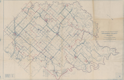
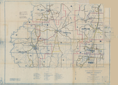
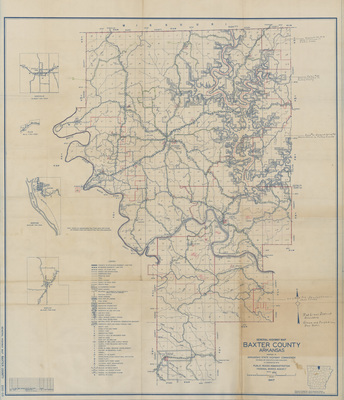
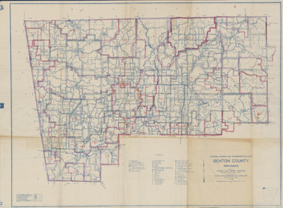
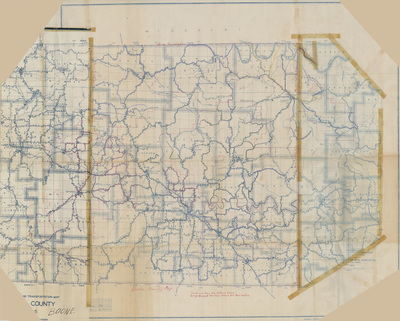
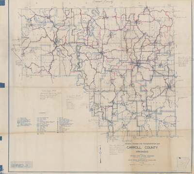
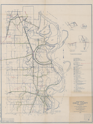
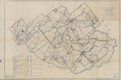
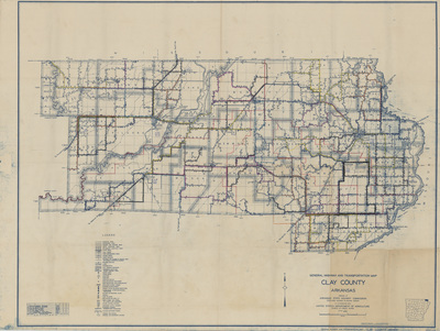
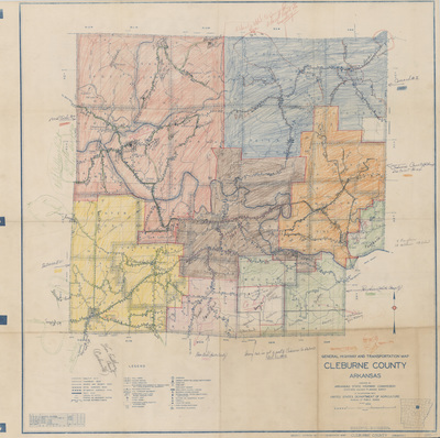
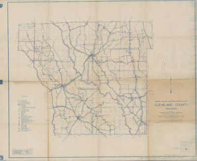
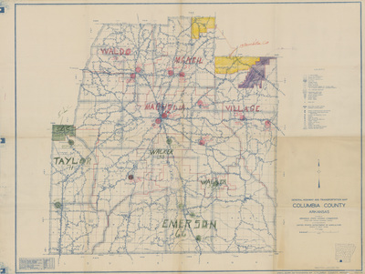
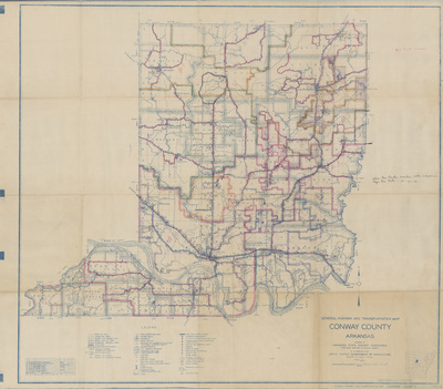
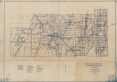
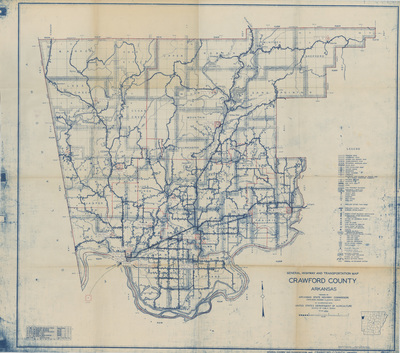
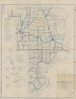
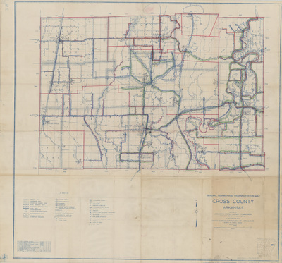
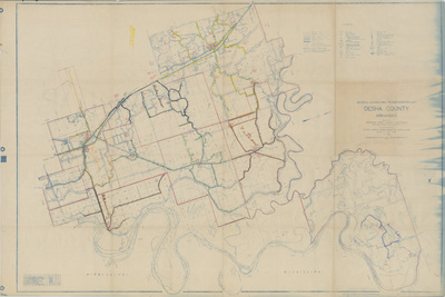
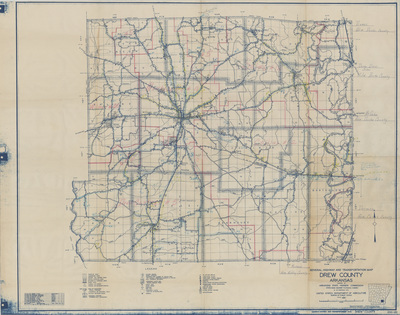
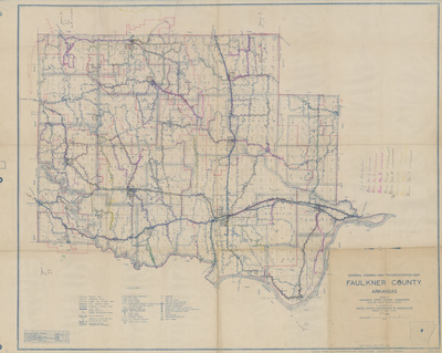
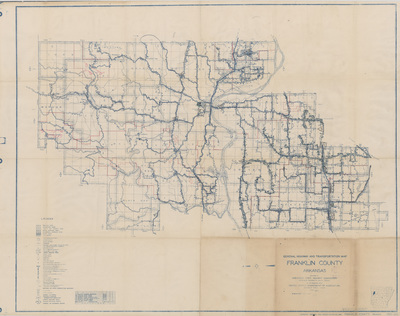
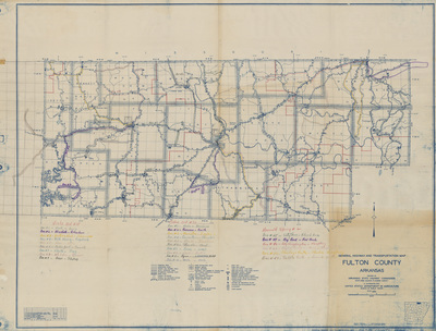
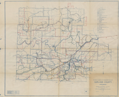
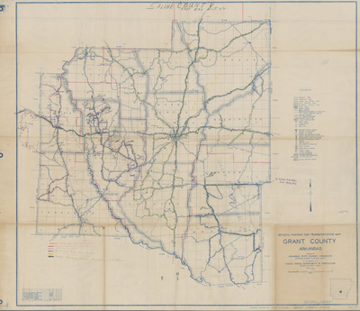
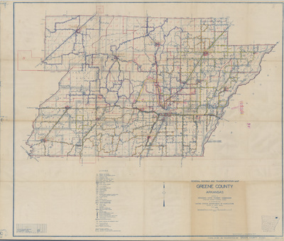
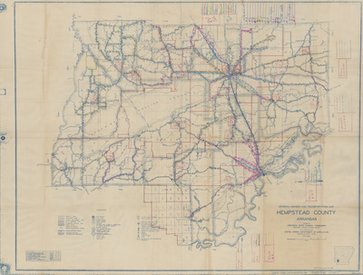
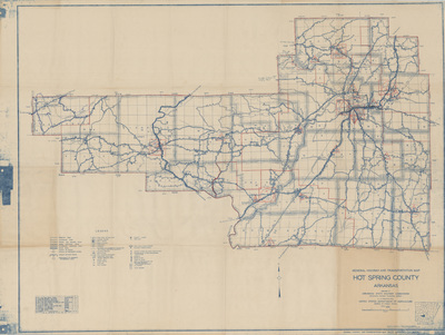
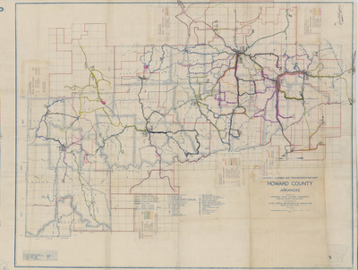
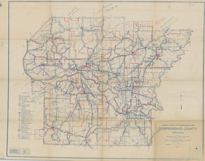
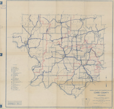
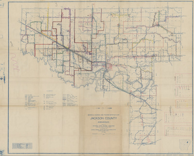
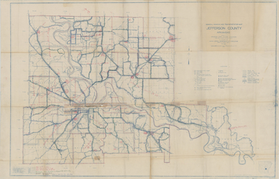
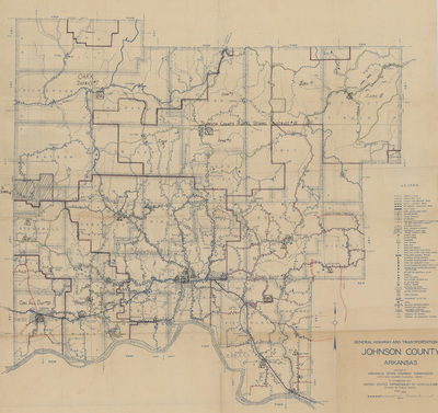
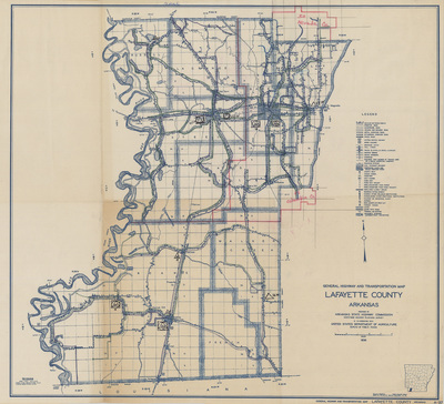
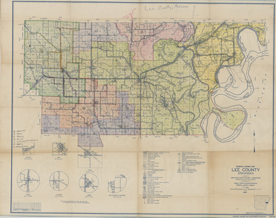
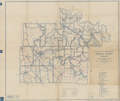
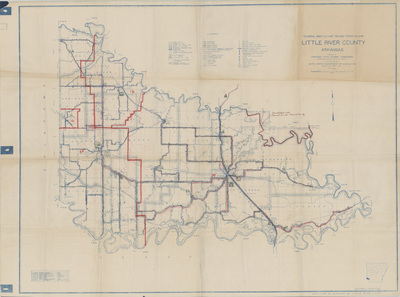
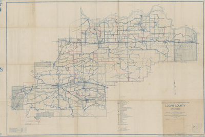
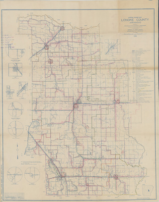
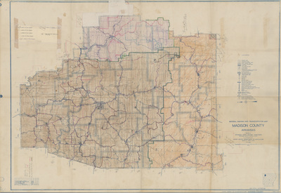
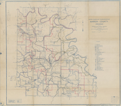
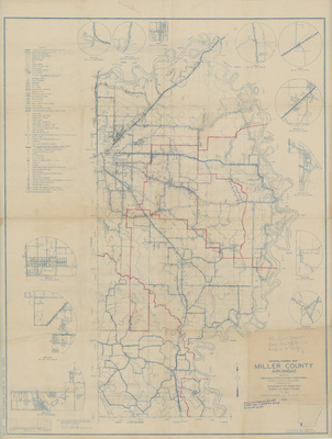
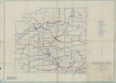
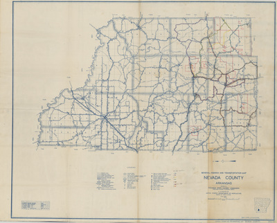
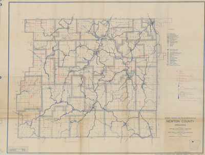
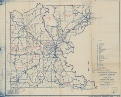
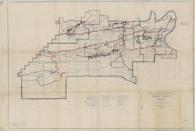
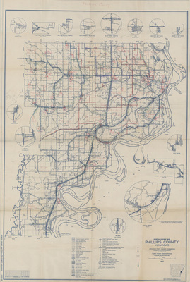
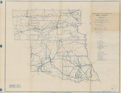
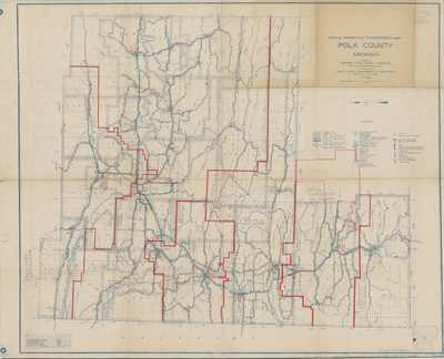
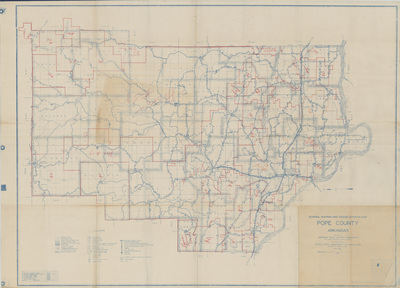
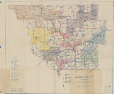
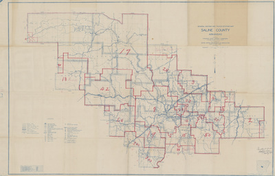
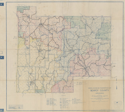
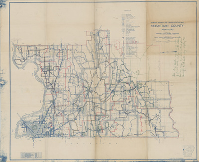
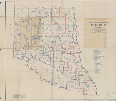
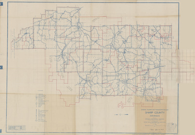
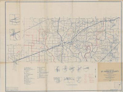
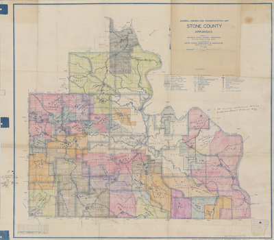
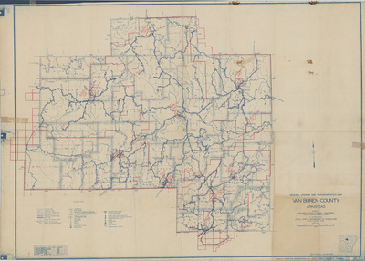
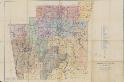
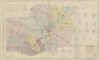
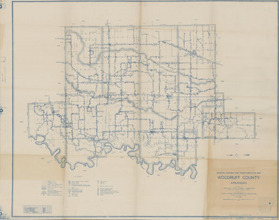
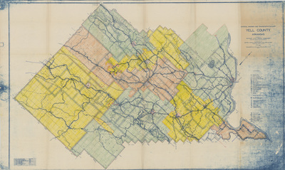
These maps depict a variety of information, including county and school district boundaries, as well as the locations of schools and their bus routes. The Arkansas Department of Education first began utilizing such maps in 1949 to determine each county’s transportation aid allocation. Additional maps for more recent years are available for viewing in the Arkansas State Archives’ research room.
Printing is not supported at the primary Gallery Thumbnail page. Please first navigate to a specific Image before printing.


