
Preview
Date Original
1900-1903
Description
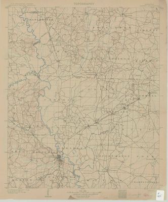
Printed color map of several counties in southern Arkansas, including Dallas, Calhoun and Ouachita Counties.
Biographical/Historical Note
In 1842, Ouachita County was formed from the northwest portion of Union County. The town of Ecore Fabre was chosen as the county seat. Its name was changed to Camden at the suggestion of one of the commissioners, and it was incorporated in 1844.
Physical Description
Map, 16.75" x 19.25"
Contributor
U.S. Geological Survey
Geographical Area
Dallas County, Ouachita County, Calhoun County, Arkansas
Language
English
Identifier
Map0405
Resource Type
Image
Collection
Map collection
Publisher
Arkansas State Archives
Contributing Entity
Arkansas State Archives
Recommended Citation
Map of Arkansas Camden Quadrangle, Map0405, Map collection, Arkansas State Archives, Little Rock, Arkansas.
Rights
Use and reproduction of images held by the Arkansas State Archives without prior written permission is prohibited. For information on reproducing images held by the Arkansas State Archives, please call 501-682-6901 or email at state.archives@arkansas.gov.
Disciplines
United States History


