
Preview
Date Original
1862
Description
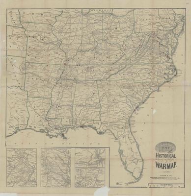
Civil War era printed map of most of the eastern United States. Red markers indicate some of the battles fought during the war.
Biographical/Historical Note
The American Civil War, beginning in 1861 and ending in 1865, was a conflict that forever changed the course of American history. As a slave-owning state, Arkansas seceded from the Union and entered the war on the side of the Confederacy in November, 1861.
Physical Description
Map, 25.75" x 26.75"
Keywords
Civil war; Battlefields; Warfare
Geographical Area
Arkansas, Missouri, Louisiana, Mississippi, Alabama, Georgia, Tennessee, Kentucky, Florida, South Carolina, North Carolina, Virginia, Illinois, Indiana, Ohio, Pennsylvania, New York, New Jersey, Delaware, Maryland
Language
English
Identifier
Map0285
Resource Type
Image
Collection
Map collection
Publisher
Arkansas State Archives
Contributing Entity
Arkansas State Archives
Recommended Citation
Historical War Map, Map0285, Map collection, Arkansas State Archives, Little Rock, Arkansas.
Rights
Use and reproduction of images held by the Arkansas State Archives without prior written permission is prohibited. For information on reproducing images held by the Arkansas State Archives, please call 501-682-6901 or email at state.archives@arkansas.gov.
Disciplines
United States History
Additional Content
Keywords
Civil war; Battlefields; Warfare


