
Preview
Date Original
Undated
Description
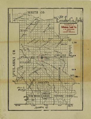
Black and white map of Lonoke County, Arkansas. The map shows towns, rivers, creeks, bayous, county boundaries and the location of the Grand Prairie.
Biographical/Historical Note
Located in Central Arkansas, Lonoke County was established in 1873. The county received its name from a lone oak tree that was used as a landmarker for surveying purposes. Its parent counties are Pulaski County and Prairie County. The Arkansas Land Company was established in Lonoke in 1878.
Physical Description
Map, 11" x 9"
Contributor
J.W. Ferguson, Arkansas Land Co.
Geographical Area
Lonoke County, Arkansas
Language
English
Identifier
Map1869
Resource Type
Image
Collection
Map collection
Publisher
Arkansas State Archives
Contributing Entity
Arkansas State Archives
Recommended Citation
Map of Lonoke County, Arkansas, Map1869, Map collection, Arkansas State Archives, Little Rock, Arkansas.
Rights
Use and reproduction of images held by the Arkansas State Archives without prior written permission is prohibited. For information on reproducing images held by the Arkansas State Archives, please call 501-682-6901 or email at state.archives@arkansas.gov.
Disciplines
United States History


