
Preview
Date Original
Undated
Description
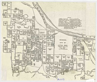
Black and white printed map of the original platting of the city of Little Rock in Pulaski County, Arkansas. The legend is in the upper right corner and the map shows businesses and neighborhoods in Little Rock. The map says the original plat was filed February 2, 1822.
Biographical/Historical Note
Located in Pulaski County in Central Arkansas. Little Rock was incorporated on November 7, 1831. The city sits on the south bank of the Arkansas River, and serves as the state capital.
Physical Description
Map, 12" x 9"
Geographical Area
Little Rock, Pulaski County, (Ark.)
Language
English
Identifier
Map1759
Resource Type
Image
Collection
Map collection
Publisher
Arkansas State Archives
Contributing Entity
Arkansas State Archives
Recommended Citation
Map of the Original City of Little Rock, Map1759, Map collection, Arkansas State Archives, Little Rock, Arkansas.
Rights
Use and reproduction of images held by the Arkansas State Archives without prior written permission is prohibited. For information on reproducing images held by the Arkansas State Archives, please call 501-682-6901 or email at state.archives@arkansas.gov.
Disciplines
United States History


