
Preview
Date Original
Undated
Description
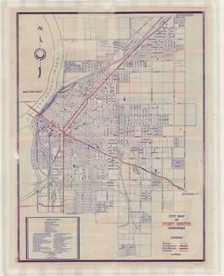
Printed color map of Fort Smith, Arkansas. The map is part of a promotional Fort Smith visitor's guide and shows roads and highways, railroads, historical markers, and city limits.
Biographical/Historical Note
Located in Sebastian County, Fort Smith was founded in 1842. It's the second largest city in Arkansas and shares county seat status with with the city of Greenwood. The Mid-West Map Company was founded in Aurora, Missouri and published maps from the 1920s through the 1940s. Their earlier maps were connected to small oil companies and were basically advertising maps. Later maps were more generic road maps.
Physical Description
Map, 17.25" x 22"
Contributor
Fort Smith Chamber of Commerce, Noon Civics Club
Geographical Area
Fort Smith, Sebastian County, (Ark.)
Language
English
Identifier
Map1247
Resource Type
Image
Collection
Map collection
Publisher
Arkansas State Archives
Contributing Entity
Arkansas State Archives
Recommended Citation
City Map of Fort Smith Arkansas, Map1247, Map collection, Arkansas State Archives, Little Rock, Arkansas.
Rights
Use and reproduction of images held by the Arkansas State Archives without prior written permission is prohibited. For information on reproducing images held by the Arkansas State Archives, please call 501-682-6901 or email at state.archives@arkansas.gov.
Disciplines
United States History


